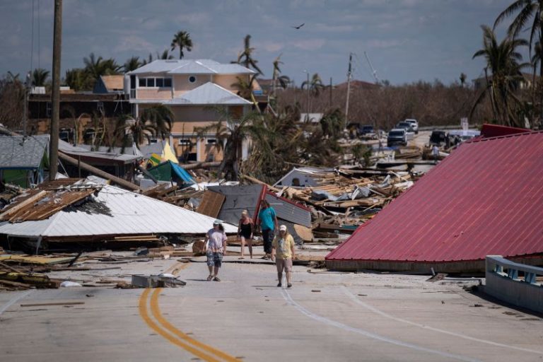
The Atlantic hurricane season is headed into uncharted territory with water temperatures in the Atlantic Ocean and the Gulf of Mexico warmer than they have ever been on record.
Seasonal forecasters are warning it means you need to prepare for a more uncertain forecast for the rest of the season with the potential for more storms and stronger ones.
Warm ocean water is one of the key ingredients for fueling hurricanes and it’s been in abundance so far this year. Scientists first sounded the alarm in April and the ocean warmth has only escalated since. Water in the Gulf of Mexico and the Atlantic has been record warm, especially for this early in the year. It includes off the coast of Florida, where water temperatures in the Florida Keys were close to 97 degrees in some spots last week.
But hurricane season predictions involve more than just warm water. It’s just one factor in the birth and survival of tropical cyclones, and it is creating more uncertainty than usual in what could happen the rest of the hurricane season.
“Uncertainty, uncertainty, uncertainty! That’s really the story going forward with this season,” Dr. Phil Klotzbach, a research scientist in the Department of Atmospheric Science at Colorado State University told me.
Klotzbach and the team at CSU are some of the pioneers of long-term hurricane season outlooks, and just increased the number of expected hurricanes and major hurricanes in their prediction for this season due to the warmer water in the Atlantic.
What makes this year even more uncertain is we are now under the influence of El Niño which typically suppresses activity in the Atlantic with increased wind shear, the changing of wind direction and speed with height which can blow budding storms to pieces and shred existing storms to death.
Klotzbach said the confluence of these record warm temperatures at the same time as a moderate to strong El Niño hasn’t been “observed historically.”
The million-dollar question right now is which will win out: warm ocean temperatures or El Niño. Early season predictions called for a near-average season, but Klotzbach and team seem to think the warm water will win out and are now calling for “an above-normal Atlantic hurricane season.”
Warm water won in June. According to Klotzbach, June had the lowest wind shear in the southern Atlantic Basin since 1988. Arlene, Bret and Cindy formed as a result.
Wind shear and dry air from Saharan dust picked up in the month of July, suppressing hurricane activity for the most part, but August through October could be different.
“Most climate models are forecasting slightly to somewhat-below normal shear in August, September and even into October,” Klotzbach said. “If that were the case, we would likely have an extremely busy season given how warm the Atlantic is.”
As of now, there’s not much noteworthy on the horizon as far as tropical development goes. Subtropical Storm Don is meandering around the north-central Atlantic but poses no threat to land. Forecast models aren’t picking up any development this week. Forecasts for next week are hinting at some tropical development, but it’s far too early to have confidence in how, if or when this could materialize.
What we do know is hurricane season typically starts ramping up as we head into August. The first hurricane usually forms in early to mid-August. The eight-week span from mid-August through mid-October is when ocean temperatures are nearing their highest levels in the Atlantic, wind shear lessens considerably and when nearly 90% of all hurricane activity in the Atlantic happens.
The bottom line is this season is already unprecedented given the hot ocean temperatures, so forecasting the season in the uncharted territory we’ve entered is a challenge. We’ve got a lot of hurricane season left to go, which means you should prepare for the worst and hope for the best.

